We’ve met a British couple, Haydn and Sian, (and 5 year old daughter Hanna) who’ve come to Trang from China where they worked 8 years. They settled in Trang about 8 months ago and Hadyn is planning to promote day cycling trips here thru all the internet avenues – social media and a web site. He’s savvy on all the promotion and web based set-up, but lacking in suitable routes since all the Tourist info features direct routes on major highways.
Haydn would like to route his tours exclusively on backroads, which are virtually empty in southern Thailand. My maps of cycling routes around Trang (available beneath this site’s Header banner) use only major highways, so I’m helping him find and record backroad access to Trang’s favorite sites. The added advantage of backroads travel, besides being slower and allowing cycling two abreast (not to mention safer), is that you can see how the people live, work and play.
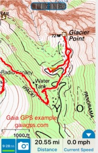
 Next project is to learn how to place those gpx files on the blog so that they can be downloadable. I’m using the GAIA GPS app on my iPhone to collect the tracks. We’ve been using GAIA GPS for several years to track almost all of our hikes because the free, easily downloadable, topo maps give use USGS quality contours. Open Hiking Maps, a subgroup of Open Source Maps (OSM), has world wide too maps for free download. We used this source on our Switzerland hikes, downloading the gpx tracks before we left home.


