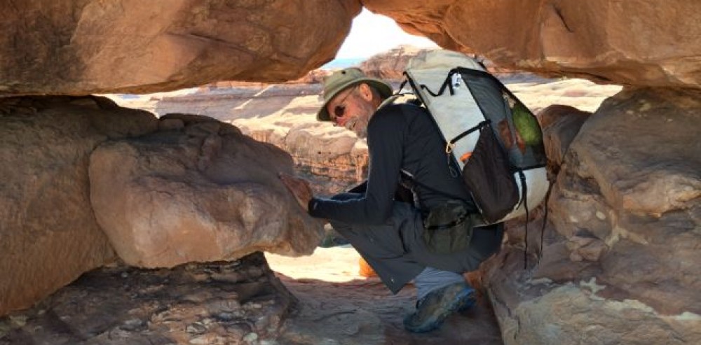
 The Escalante Legacy Tree Study lives on, with our most recent trip to the desert duct delivering the Dixie National Forest waters thru the high Utah desert to the Colorado River at Lake Powell. The Escalante River is said to be “navigable” sporadically during the Spring runoff, but it’s more like a shallow creek most of the year, especially in August.
Mike and I have been lucky enough to be invited to assist Melissa, a research and restoration ecological biologist specializing in Southwest and desert environments, the last two years on the Escalante River, and in the past in the Grand Canyon. The Escalante Legacy Tree Study finds and catalogs those historic trees in the Escalante drainage that meet a specific criteria, not just size. As the GaiaGPS track segment shows, this involves searching both sides of the river banks for qualifying senior candidates.

 Since the access is either down the river along the seldom used animal trails or over the high desert and into the canyon thru steep access, not many get to experience the verdant micro-climate winding thru the desert crust. It took a full day just to get to where we left off last year, route-finding our way to a slot in the canyon wall and bushwhacking down the river bank.

Unusually cooler temps for this time of year made the week working in the Utah desert tolerable and mostly pleasant. My original plan to not take a sleeping bag was fortuitously amended at the last minute, because the pre-dawn temps were in the mid-50’s rather than the anticipated mid-60’s. Day-time temps never broke triple digits in the canyon and since we were mostly in the trees and often making repeated river crossings in the 
water, we were comfortable in the long sleeves and long pants necessary for bashing thru the undergrowth. This isn’t a trip that boasts high mileage as the entire goal for the week was to log trees in just a five-mile section of the river. It takes a full day to search about a mile of river: finding a tree, logging it’s height, distance from and height above the river, GPS location, health, number of stems, girth, and the species (plants) surrounding that granddaddy.
 We spilt up when the river bank is larger than we can see thru the foliage, using coded yodels for communication and then gathering around when we find a living heirloom, each taking a series of recording chores. Melissa managed the most difficult, bushwhacking a direct route to the river to establish distance from the water. Mike and I counted stems (trunks out of the ground), girth and struggled with identifying species
  surrounding the tree. By mid-day many of the long slender plants started looking very much the same. Pictured is the list of common names we encountered and the code we needed for logging a tree’s vegetative environment. An interesting TED talk describes how plants communicate and share below the ground (worth viewing). We also needed to photograph the tree with ID number, which involved hiking back far enough thru the brush to find a suitable profile.
There are always interesting things to see besides legacy trees. This river  canyon was home to many in past centuries, just as all the other canyons and deserts of the Southwest. In one alcove above an early twentieth century cowboy settlement, we stumbled upon an Indian settlement and granary with corn cobs and pottery shards.
A good time was had by all and we look forward to another section of the river next year.
To make sure I don’t bring the same  pair of worn out hiking shoes I did the same gesture I used to do leaving a boat yard in the past. This dumpster was right next to the first ice cream stop out of the desert.
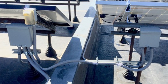
 “Guess I’m outta work” was what the electrician said mid-afternoon Thursday when he wrapped the last solar j-box lugs on the roof. It was the culmination of an intense week of work and scheduling trying to get this solar array completed before a self-inflicted deadline of September 1st. He’d wedged me into his already tight schedule thinking it would take about 3 days and we’d finished a conduit run, pulled 150′ of 4 conductor 3 stories, made up a complicated merging of two arrays electrical and tied it into the grid in a little over a day and a half.
 Close family and friends like Chris, Mike, Will and Kurt put up with short notice, lending a hand or two when the impulse demanded. The electrician, like the roofer, was a required expenses due to this being an HOA installation but we could do all the design, materials acquisition, grunt work and assembly that didn’t require a licensed contractor.


 This week we’re working on a solar array for our adjacent condo
 You can see the older array in the background on the adjacent roof. Sealing the boots is exactly the same as patching a dinghy but there is a different liability when it’s on an HOA roof, that’s why we’ve employed licensed roofers. Fortunately it only took two of them half a day.


