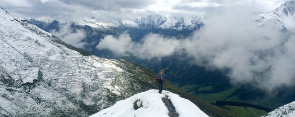
I’ve lost track. Fortunately GaiaGPS knows where we are and what we have done. Thirteenth day of travel and hiking and it’s getting hard to figure what to feature on the blog. Currently we’re in the Grindelwald valley, our fourth day here and we’ve done a number of hikes that we have never done before, several really notable hikes including one below the north face of Eiger and another panoramic view of the entire Grindelwald valley.

I’ve been coming to this valley since 1975 and I’ve never gotten up close and personal with the Eiger north wall like we did this time. They just recently placed these maps showing the climbing routes, this one the original climb in 1938. Was really fun to look at the map and look at the wall and actually see where a climber may have actually gone and how they get to the top. The current record for climbing this wall is two hours and 20 minutes by a solo Swiss climber.

In many past times the peak of the Eiger was shrouded in clouds like any high peak in Switzerland. This trip we’ve been able to see the Eiger clearly in blue skies which are often called Swiss calendar days. On our third day here we took the panoramic hike high on the northeast side of the Grindelwald valley from Schynige Platte to Grosse Scheidegg.

With little or no wind, the humidity and pollution from the valley comes up and leaves a little bit of “marine or atmospheric” layer clouding the view, but it is still outstanding. This trail is so popular because they have a funicular train that takes you to the beginning and you can take a gondola off the other end.


